Aerial survey done by using here+ RTK GPS data when I process data in Pix4D ,latlong are ok but main thing i.e vertical height 10 meter error
Controller - Cube Black
Camera- Sony Alpha 5100
Drotag Cable
GPS-here+
Mission Planner latest
I would guess this is because of the very old 1996 datum geoid height used in ublox. How are you making comparisons?
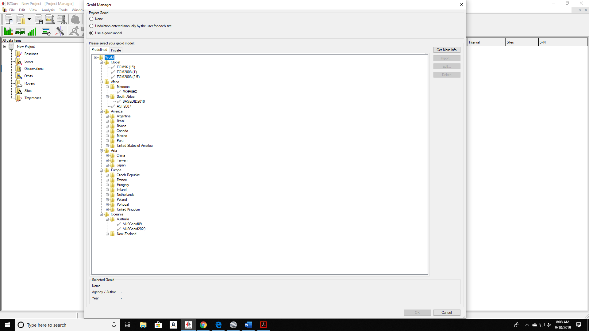
Datum catches a few people. Make sure all systems are on the same one ![]()
We are testing using DGPS Trimble devices, and also different from Google earth,please tell how to remove this problem
Set the same datum on all devices
I am using WGS84 and Geoid EGM96 in all devices which dataum I use in India
I do not know what Geoid is best in India. From what I have been told, EGM 96 matches newer models within foot or so. Geoid 99 matches newer modles within a few cm. The problem I found is the Geoid is not actually used. Ucenter finds an average for your area and uses it. It is not computing the exact geoid. This causes much larger than desired accuracy errors.
For example in my area the elipsoid to geoid value varies from 15-18 meters. Ucenter shows 23.2 meters
It is truthfully all wrong.
To fix it you must find the correct elevation or geoid height for your site. Then make the adjustment manually.
I feel your frustration, I have been ranting about this for a short while now & do not see light at the end of this tunnel yet.
Can we change the geoid model in here+ I want set EGM96 , where is that setting
Well said… agreed
Open to suggestions ![]()
You need to use ucenter
I know ucenter , datum I have already set wgs84
which option I have to select in ucenter for EGM96 geoid model
Otherwise with 10 meter change in height here+ rtk GPS is worth less
You are missing the point… this is not a Here+ issue… it’s a datum issue.
I don’t have an answer for you, but there are many thousands of users succeeding here… one of them will hopefully tell you how to get around the limitations…
please provide solution
We provide great hardware, and spend our profits providing FREE awesome software.
You are welcome to sponsor some developers to help on this matter.
Chandrahas & Phillip.
I do not think CubePilot can do anything about geoid heights, it’s a Ublox issue. Trimble and many other GPS brands have a list of available geoid models. As a GPS user you must understand the importance of the horizontal & vertical datums. Without this understanding and list of geiod files the GPS elevations are not going to match local datum or be accurate. This list is of geoid files is getting more and more complex as new gravitational measurements are added and better models are created. Today geoid 09 & 12 have zones because the whole file is too large to fit on the flash.
WGS 1984 and EGM 96 are fine for a consumer or even some GIS work but not surveying.
The fix is to have these horizontal & vertical datums in the GPS receiver.
Its disappointing that the New F9P is missing this very important function. That said what can we expect from a $200 receiver. A new trimble system cost over $12k.
Perhaps if ublox heres from a few more people this can be a future firmware upgrade.
I am willing to do this if it’s something that can be fixed. Who has the skills and time?
Surveyor need to not only have a good geoid height but we also we need to switch to horizontal datums per client request. If get a military client they want UTM, other government entities require NAD1983.
This

These are the type of selections surveyors need. This software works with rinex files so I think some selectors could be implemented with MP. What do you think?
Again if it’s possible
2 Likes
I just found out the ucenter EGM96 grid is 10 degrees. My software has it at 15 feet?
I am so disappointed in Ublox.
Have you asked uBlox?
Yes, & no reply yet. Just an observation, 10 deg Latitude is South Africa to India. The grid is way too big.