Hi
I have serious problems with geo referencing photos using Mission Planner.
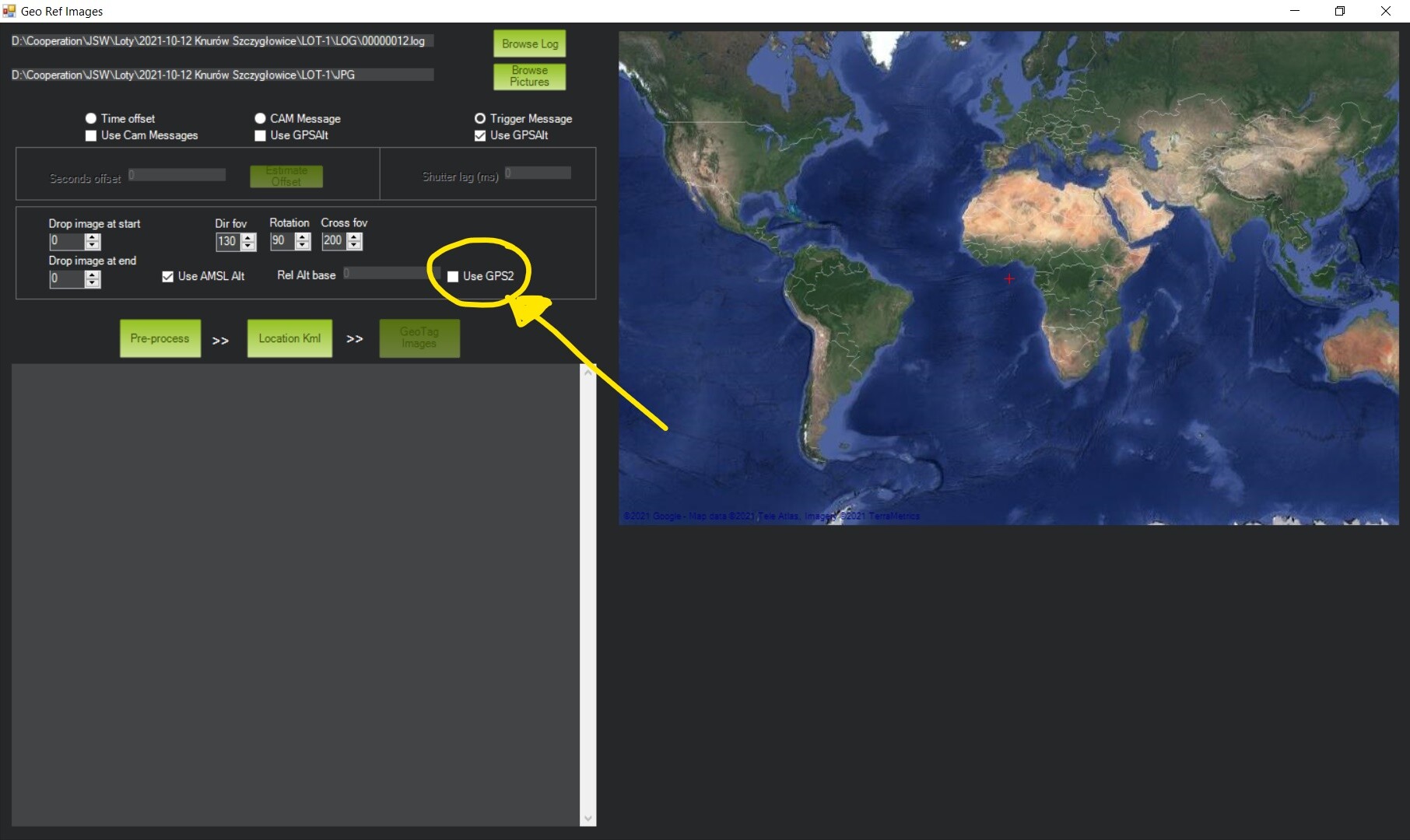
When I checked the box “GPS2” whole GPS data are the same as when I don’t select that box. I use two different GPS. First GPS is HERE2 connected via CAN, second of them is Emlid M2 connected via UART on the GPS2 connector. In settings I set GPS_AUTO_SWITCH = 0
( Use only primary GPS HERE2). Why when I checked GPS2 box, geo referencing are with HERE2 instead of EMLID M2?